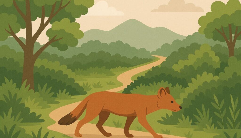
Dhole rediscovery in Kaziranga – corridor conservation
Table of Content:
Kaziranga’s first camera-trap photograph of a dhole (Asiatic wild dog) in nearly three decades confirms that the park’s narrow forest “necklaces” linking it to the Karbi-Anglong hills are still alive. The sighting has refreshed policy talk on wildlife corridors, IUCN and WLPA statuses, and India’s marquee carnivore programmes—all staples for UPSC Environment & Ecology answers. Details follow.
Dhole rediscovery in Kaziranga & what it tells us about corridors
-
What happened? On 26 June 2025 researchers operating camera traps in the Amguri corridor—a teak-dominated patch south-west of Kaziranga National Park—captured clear images of a lone adult dhole; the species had been considered locally extirpated since the 1990s.
-
Why Amguri matters: Amguri is one of nine legally recognised passageways through which animals move between the Brahmaputra floodplains (Kaziranga core) and the Karbi Anglong hills. These corridors—Panbari, Haldhibari, Bagori, Chirang, Deopani, Kanchanjuri, Amguri, Harmoti and Borjuri—were mapped by an MoEF-appointed committee in 2019.
-
Conservation insight: Dholes are wide-ranging pack hunters; their re-appearance signals that at least seasonal connectivity has survived road widening, tea estates and sand mining. Protecting corridor land from further fragmentation is therefore critical for predators and prey alike.
Static handle-wise deep dive
IUCN categories & Schedule I of the Wildlife (Protection) Act, 1972
IUCN uses quantitative criteria (population decline, range size, etc.) to assess global extinction risk.
WLPA Schedule I affords the highest legal protection in India—no hunting, trade or capture; offences invite ≥ 3 years’ jail. The Schedule includes 458 fauna species, dhole among them.
Wildlife Corridors & Eco-Sensitive Zones (ESZs)
-
Wildlife corridor = a linear landscape element that physically or functionally connects two larger habitat patches to facilitate gene flow and seasonal migration. The Kaziranga corridors above are “structural” (continuous forest strips).
-
Legal backing: Though corridors aren’t a separate category under WLPA, States can protect them by declaring Reserve Forests or Community Reserves, or include them in an Eco-Sensitive Zone—a buffer (typically 0–10 km) around a Protected Area where polluting activities are regulated under MoEF&CC 2011 guidelines.
-
UPSC linkage: Past Prelims have asked which corridor pairs (e.g., Kanha–Pench, Terai Arc) aid tiger dispersal; Mains often seeks policy tools to secure corridors (land-purchase, eco-development, ESZ zoning).
Project Tiger vs Project Lion vs Project Cheetah
Take-away: All three are Centrally Sponsored Schemes but differ in species ecology, political hurdles and risk profiles—good fodder for a comparative Mains answer.
Biodiversity Hotspots concept
-
Origin: British ecologist Norman Myers (1988) identified regions that are both exceptionally rich (≥ 1,500 endemic vascular plants ~ 0.5 % global) and highly threatened (≥ 70 % original vegetation lost).
-
Global tally: 36 hotspots now cover just 2.4 % of Earth’s land, yet shelter ~60 % of plant, bird, mammal, reptile and amphibian species.
-
India’s four hotspots:
-
Himalaya (Eastern Himalaya section)
-
Western Ghats–Sri Lanka
-
Indo-Burma (includes NE India & Kaziranga)
-
Sundaland (Nicobar Islands)
UPSC angle: Prelims may test criteria or ask to identify which Indian states fall in multiple hotspots; Mains may ask for hotspot-specific conservation challenges.
-
How to embed these points in answers
-
Intro hook: “The recent rediscovery of the Endangered dhole in the Amguri corridor of Kaziranga National Park underscores the critical role of structural wildlife corridors recognised by MoEF’s 2019 committee.”
-
Body: Compare corridor safeguards (ESZ, Reserve Forest) and relate to flagship projects: tiger corridors (Project Tiger), proposed lion dispersal route (Project Lion) and inter-state grassland mosaics for cheetahs (Project Cheetah).
-
Conclusion: Link back to hotspot status (Indo-Burma) to argue for landscape-level stewardship beyond park boundaries.


